FIT3084
: Assignment Specification, 2010
Details about the answers you need to provide for assessment are given below.
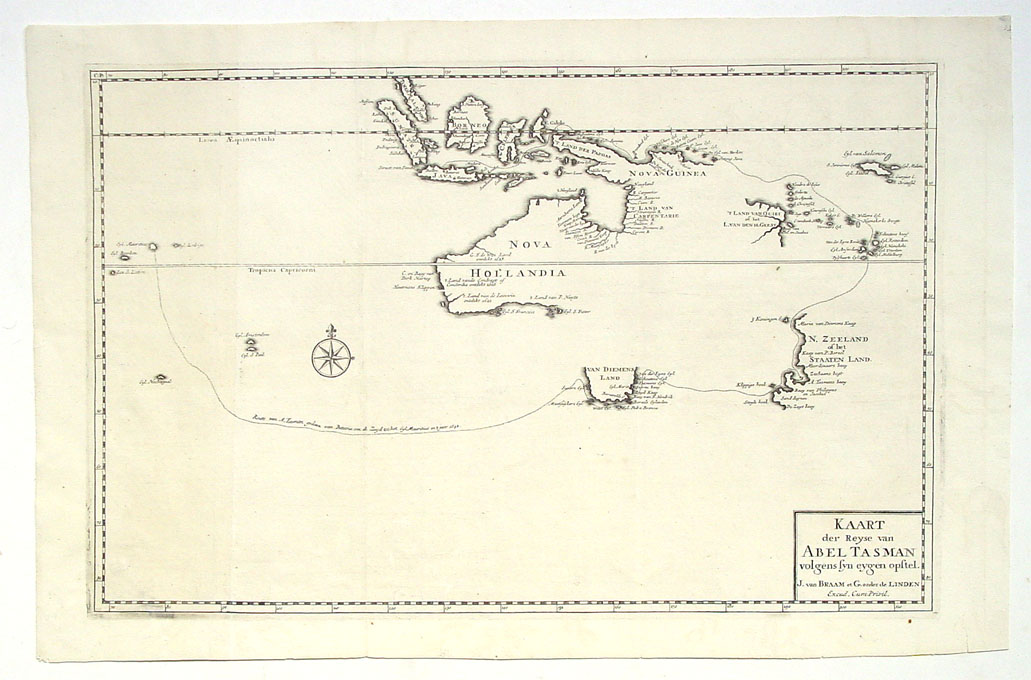
The Map of Australian Explorers
Using only the tools and techniques covered in lectures implement
an interactive online map that runs in the
Firefox Internet web browser as follows...
Task:The aim of the website is to produce an interactive,
map to be accessible
over the WWW suitable for use by a museum. The map must show authentic, researched, and properly cited information about at least two of Australia's early explorers: the routes they took, the places they visited and the times they travelled. The map must also provide visual, audio and/or textual information about the important events that occurred during their journeys.
Note: The explorers may be those who travelled across Australian soil, or they may be those who explored its coastlines. This is up to you. Whichever you choose, you will need to read books (from a library), consult old newspapers (from a library), maybe even visit sites around Melbourne and its surrounds if you wish to take photos of local monuments to the early explorers. You will be assessed partly on the quality of the research you present. Without good material, your site will be shallow, boring and will not rate well!
In addition, your map must permit the addition of new "explorers" (school children, museum visitors etc.) and their travel routes via the web interface. I.e. If a school student wishes to enter their own travels around Australia into the interactive map they should be able to at least add:
- their name
- a series of places they have visited
- the route that they took between these locations
- textual information about what they saw at each key point on their route
- the date of their visit
 |
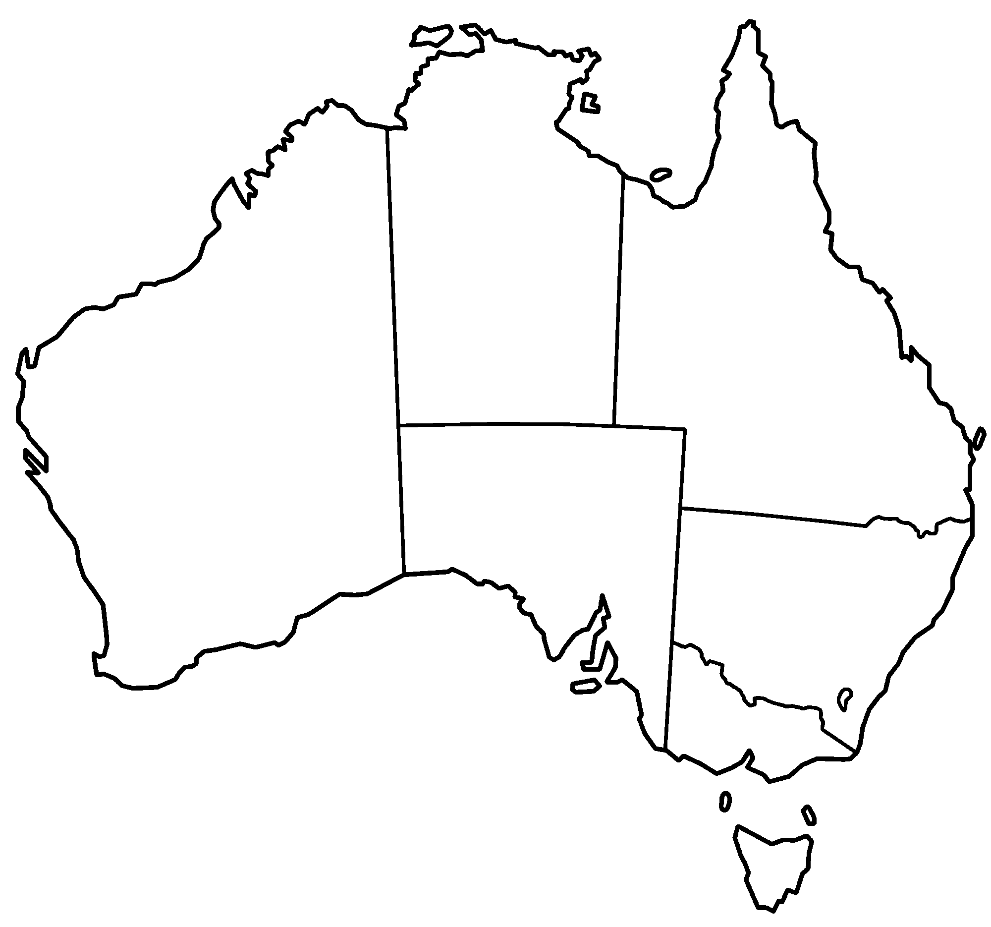
You may use this outline map of Australia as the basis for your website or you may create your own. (Do not copy maps from elsewhere!)
This is a chance to be creative. There is a vast history of beautiful map making from which you should draw inspiration. Many of the explorers made beautiful maps of their journeys that have been preserved to this day. You will need to consult references on the art of cartography to assist you in designing your map, selecting the colours and typefaces you use, and the selection of the iconography you employ. |
| Australia is just New Holland! |
|
 |
Some features to consider:
- Indicate clearly marked locations on your map, regions and paths;
- Provide a means for viewers to mark locations on the map and alter their ordering in a path;
- Provide a means for viewers to read/see/hear the information stored about the marked locations and to update or remove it if necessary. (Will you protect against malicious interference with the map's data?)
- Allow users to show or hide certain types of information and to search for particular features.
- How will you handle the situation where the map needs to be displayed at a resolution higher than that of the user's screen?
- How will you reveal the discoveries made by these explorers? Will they always be visible on the map? Or will they be revealed a step at a time as a user follows the path the explorers took?
|
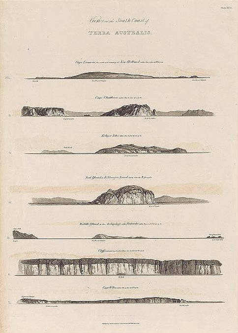
| 1814 - Views on the South Coast of Terra Australis. Plate XVII (Westall/Flinders) |
|
Other things to consider:
- How will you build the map? (What data-structures might you use?)
- How will visitors to the site know what to do?
- How will you highlight a location?
- What will your map look like? How will use text and icons?
- How will user data be interpretted?
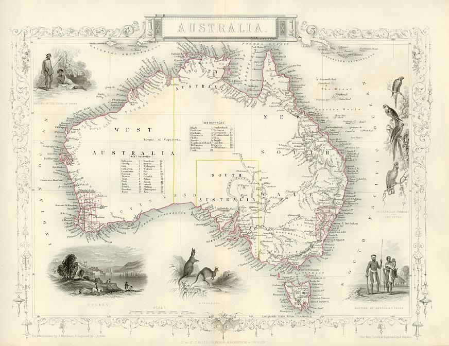
* NOTE: The images appearing on this page are of old maps produced by people who are no longer living and who no longer hold copyright over their work. However, work submitted for assessment must be the original work of the students enrolled in the unit.
Task Details
- This assignment consists of two parts, each worth 15% of your end of year
mark.
- Both parts are to be completed in the same assigned group of four
students.
Part 1: Design Document (DD)
(See course
outline for due dates)
The DD is web-based and will be assessed online. You will need to post it as
a web page on the Monash website of a host-student who you select
from your group.
Before you can post your DD you will need to post a splash
page containing:
- The group name (allocated automatically when you register your group)
- The names of students in the group
- A clear link to the design document
- A legal message and link in which all of the site authors may be emailed
as a single group (check that this works). Marks may be deducted
if this legal notice and mailto link are not correctly incorporated...
Submitted in partial
fullfillment of the requirements for
FIT3084
Multimedia Programming and the WWW
Faculty of Information Technology, Monash University, Australia 3800.
This site is the
original work of author1,
author2, author3, author4
The DD needs to contain the sub-sections listed below. Each sub-section must
be clearly labelled.
[Square brackets] contain an approximate % mark for each assessment task.
Please note that the effectiveness (and therefore grade) of each section
will to some
extent be determined by the effectiveness of each other sub-section. This
is how the WWW works... the overall design and content of the information
you present
says a lot about the authority and professionalism with which the information
will be credited... people do judge a book by its cover, especially online
(where
there are no books... how ironic!)
- Target audience &
concise specification of problem
Exactly who is your website targeted at? What are its primary and secondary
target audiences? What will their expectations of your site be? Include a
brief,
clear description of the aim of your project in light of these expectations
and the resources available to you. (~200 words) [10%]
- Concise description
of the proposed solution
- Explain exactly
what you are going to do to meet the aim of the project and the target
audience's
expectations. What will your project look like? How
will you represent the map? How will the landscape appear
from the user's perspective? How will the user interact with the map
to meet their requirements? (<400
words) [40%]
- Include at least
one (probably more) visual mock-up to clearly explain the functionality
of your system. (A visual mock-up is a document that looks like a screen-shot,
picture or diagram of your proposed web site but the underlying functionality
has not yet been implemented. The document should be annotated with text
explaining what each of the elements will do in the completed version.)
[20%]
- Describe a user's
interaction with the map from start to finish exploring a couple of
different user goals and the sequence of events by which they are met.
This may be in the form of a series of key moments and/or decisions
for
the
user. It can
be in text or visual form, or a combination of both. [10%]
- Tools and techniques
Give a brief description of software tools, techniques & algorithms you
think will be required to implement your solution (You will need to research this.
Don't be concerned if later you discover there are better ways of implementing
your solution, you just need to show that you have researched the possiblities).
(~200 words) [10%]
- The DD content, layout
& design
Don't focus on the technology or your perceptions of what's easy or hard to
implement on the web. Marking will be based on the innovation and thought
you show in your problem solution (not the difficulty you might have in implementing
it) and also the way the DD itself is presented online.
Therefore, the DD should at a minimum include text, images and hyperlinks.
You are limited to using a few pages for the DD. Only add material that is
necessary to build your case. Unnecessary material will result in loss of
marks if your readers become disinterested.
Overall quality and presentation of design document [10%]
Part 2: Implementation
(See course
outline for due dates)
- Add an additional page to your DD from the assignment part 1. This
addition should contain:
- An analysis of your original DD highlighting any points raised in the
feedback to your original submission;
- Specific improvements to the original specification;
- When you produce this additional page, do not
change the original design document. Please leave it on-line for reference;
- Link your design document revision page to your group's splash
page.
- Implement your newly revised scheme for the interactive map. You must consider
all aspects of designing for the web and information presentation.
- Pay particular heed to the use of:
- imagery (icons and pictures)
- text (grammar, spelling and expression must all be perfect)
- page layout
- information design/architecture
- programming and interactivity
|
- navigation systems
- site labelling
- typography
- colour
|
...and don't forget, above all else you must communicate effectively with
your target audience!
Remember to:
- Link your assignment to your group's splash page
- Link your revised DD to your group's splash page
...or you will not receive a mark for all of your hard work (as nobody will
be able to see it)!
- Here is the approximate assignment marking breakdown:
- Revised DD...
- Navigation...
- Site Layout...
- Labelling...
- Page layout & Visual design
|
5%
10%
10%
5%
15%
|
- Interactivity...
- Programming...
- Evidence of testing...
- Usability...
- Quality of research presented on the web site...
|
10%
20%
5%
10%
10% |
Courseware | Assignments

©Copyright
Alan Dorin 2010